GeoSentry
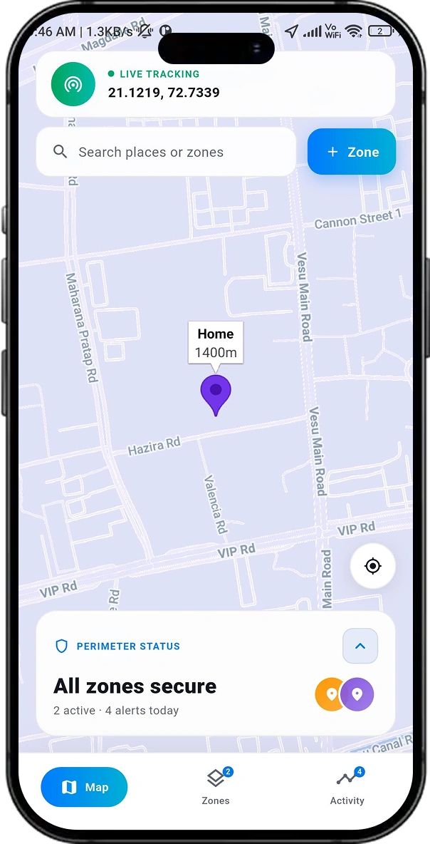
GeoSentry is a professional-grade geofencing and real-time location monitoring mobile application built using Flutter. It allows users to define custom geographic zones on an interactive Google Maps interface and receive real-time alerts whenever a monitored device enters or exits these zones. The application is perfect for a variety of use cases such as personal safety, child monitoring, fleet management, employee location tracking, asset protection, and smart home automation triggers. Users can create unlimited geofence zones, each with a custom name, radius (ranging from 50m to 2km), color, and description. Built with Flutter using the Provider state management, GeoSentry leverages the device’s native GPS for continuous high-accuracy position streaming. Reverse geocoding converts coordinates into readable area names, such as Adajan Patiya, Surat, without requiring manual input from the user. All geofence data and event history are stored locally using SharedPreferences, ensuring reliable functionality even when the app is offline.


Challenges & solutions
The technical problems our team solved to ship a reliable, unified mobile experience.
Synchronizing map interactions with dynamic UI components while allowing users to configure radius, color, and metadata before saving the geofence.
Continuously calculating distances for multiple zones without causing UI lag or excessive battery consumption during frequent GPS updates.
Maintaining consistent local data synchronization while supporting CRUD operations and historical event logging entirely offline.
Key features
What users get in the finished, shipped product.
Interactive Zone Creation :
- Overview : Define custom geofences by tapping any point on the live Google Maps interface.
- Customization : Configure zone name, radius, description, and color via an intuitive bottom sheet.
- Utility : Allows for precise boundary setting before saving to the system.
Real-Time Location Tracking :
- Precision : Continuous GPS updates triggered every 10 meters of movement.
- Monitoring : Executes real-time boundary checks against all active zones.
- Efficiency : Ensures constant location awareness for high-accuracy geofencing.
Boundary Detection and Geocoding :
- Detection : Uses the Haversine formula to identify exact entry and exit crossings.
- Automation : Reverse geocoding converts coordinates into readable names like “Adajan Patiya, Surat”.
- Logging : Fires events complete with timestamps and precise coordinates.
Proximity and Zone Management :
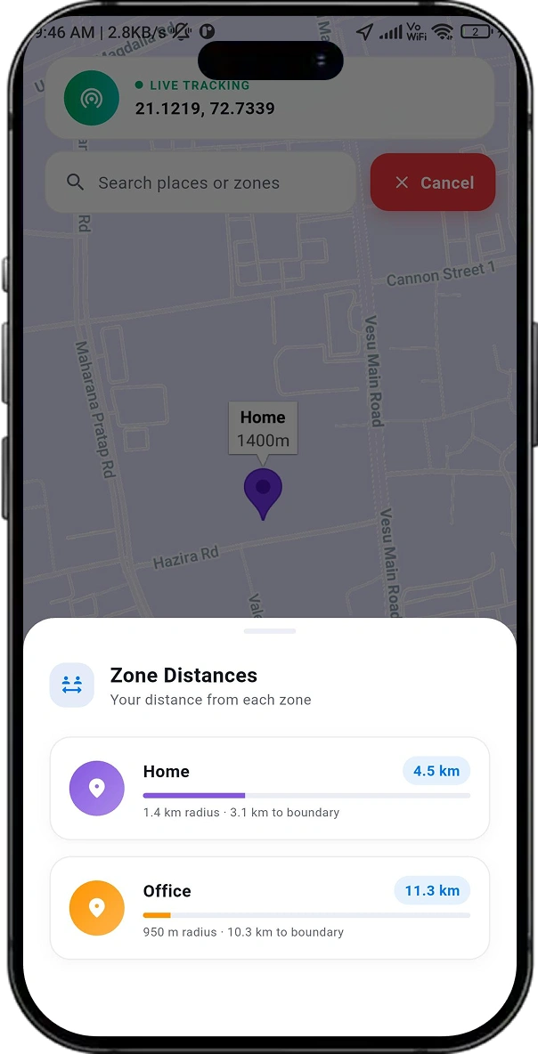
- Metrics : View real-time distances to every zone with visual proximity progress bars.
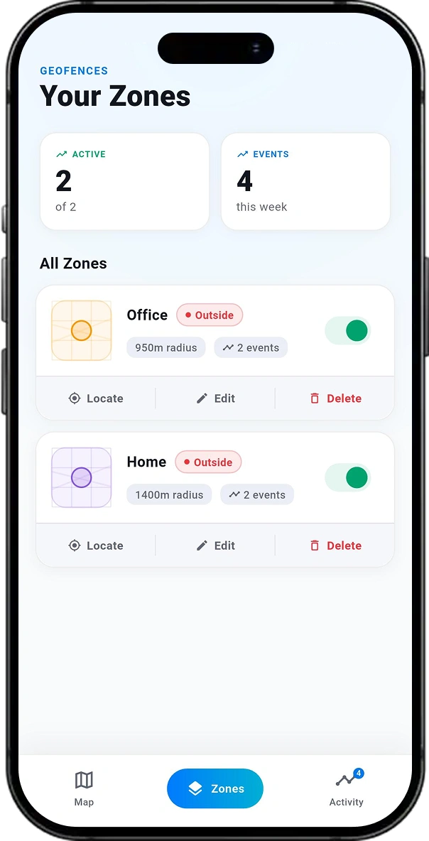
- Control : Create, edit, toggle, or delete geofences through a dedicated management interface.
- Visibility : Zone cards display live/paused status, event counts, and area names.
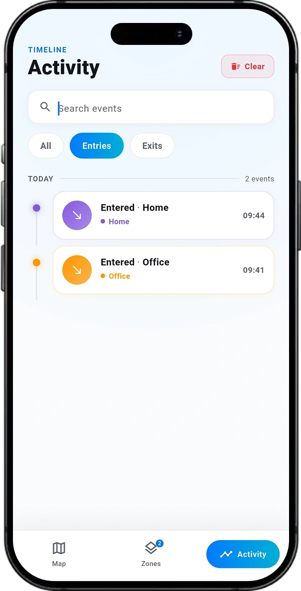
Activity Timeline and Search :
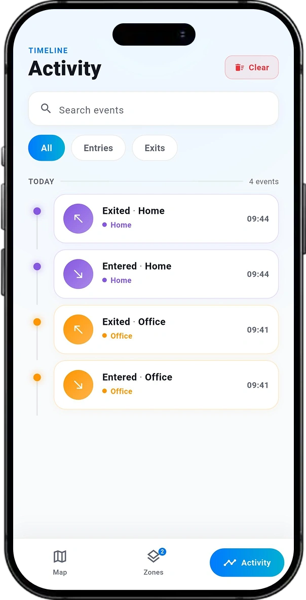
- History :A chronological log of all boundary events grouped by date.
- Filtering : Navigate history using full-text search and tabs for entries, exits, or alerts.
- Visuals : Events are color-coded to match their respective zones for quick identification.
Storage and Customization :
- Persistence : Local storage ensures data and history remain available without an internet connection.
- Personalization : Assign one of eight colors to each zone for consistent visual tracking.
- Cohesion : Selected colors reflect across maps, timelines, cards, and icons.
Statistics Dashboard :
- Summary : View a high-level stat bar detailing active zones and event counts.
- Metrics : Track weekly event totals and specific alert counts for the current day.
- Insights : Provides a quick data-driven overview of all geofencing activity.
Similar Projects We've Built

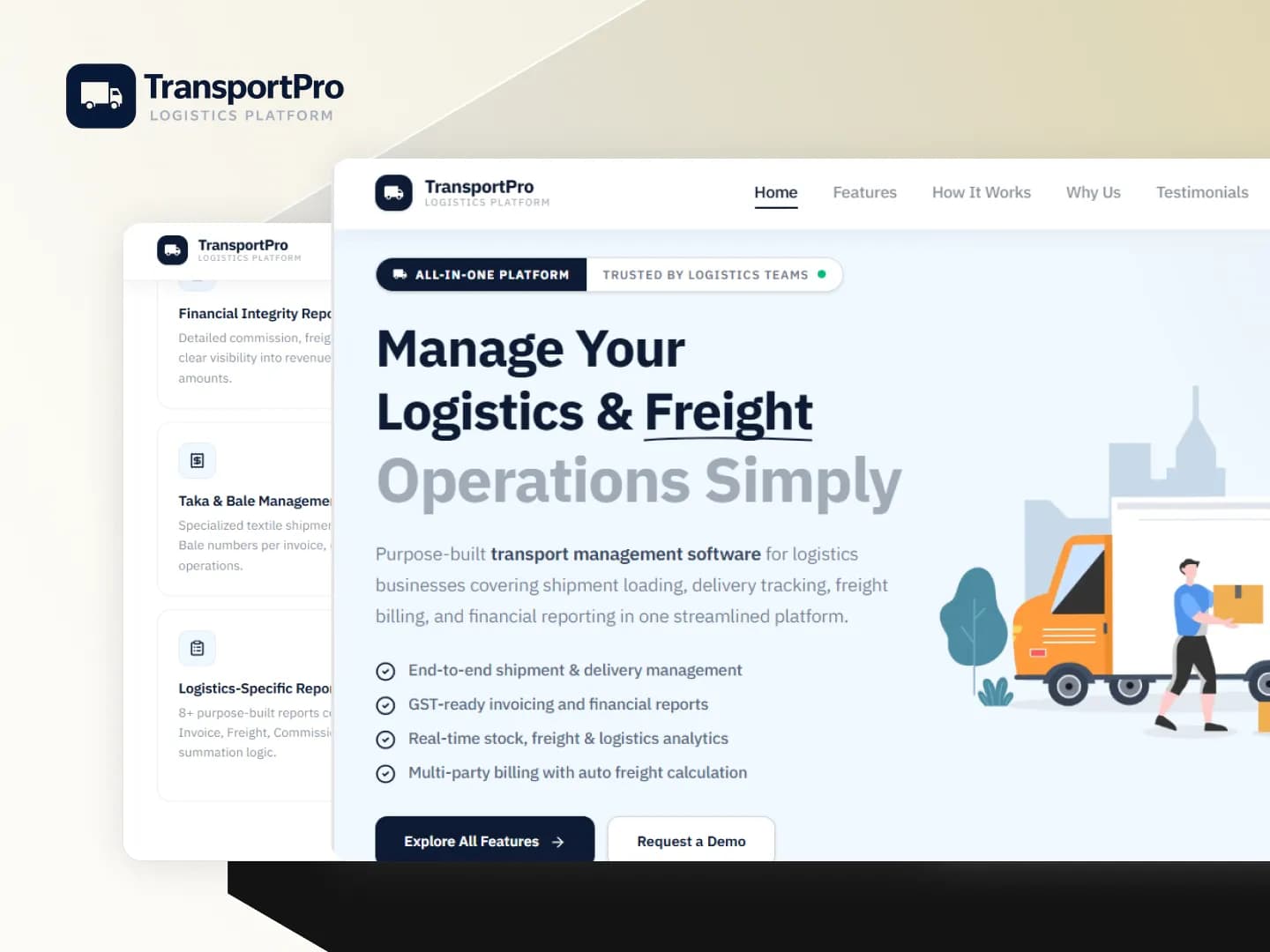
TransportPro – Transport Management Software
TransportPro is a comprehensive transport and logistics management system purpose-built for India’s freight and transport industry. It provides a centralized platform for managing shipment loading, delivery tracking, GST-compliant billing, fleet operations, financial reporting, and stock management — enabling transport businesses to replace paper registers and Excel sheets with a streamlined, digital-first platform.

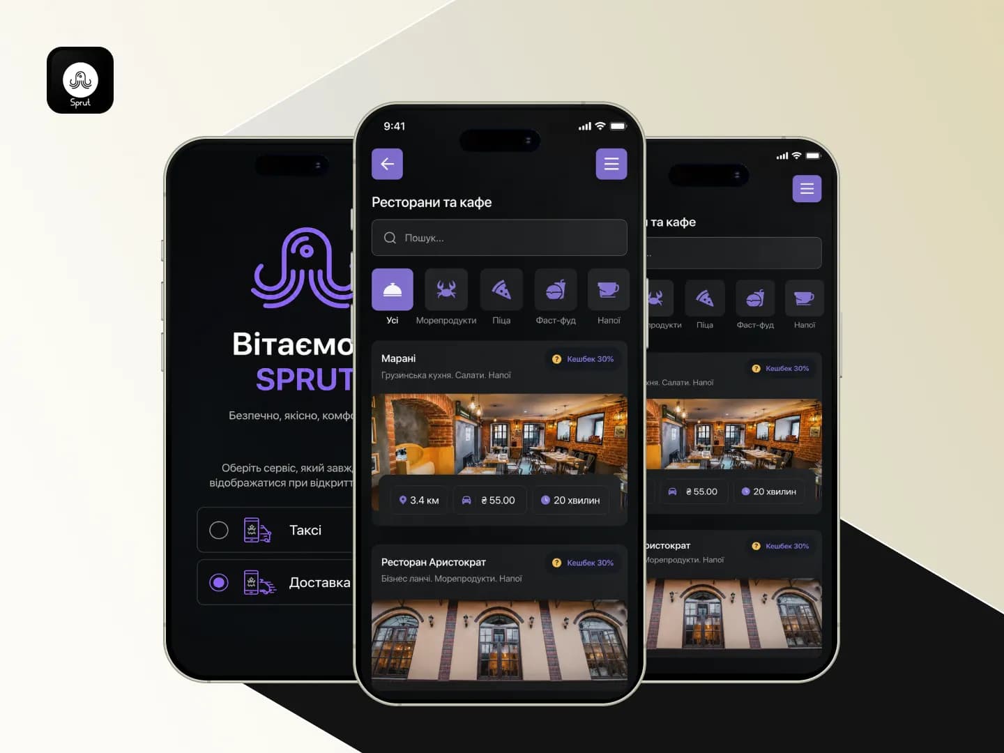
Sprut – Taxi Booking & Personal Assistance App
Sprut is a next-generation taxi booking and personal assistance mobile application designed to provide fast, reliable, and convenient transportation services. The app enables users to order taxis instantly, track rides in real time, schedule pre-bookings, and manage ride history with ease. Built using Flutter with GetX state management, the application focuses on performance, real-time updates, […]

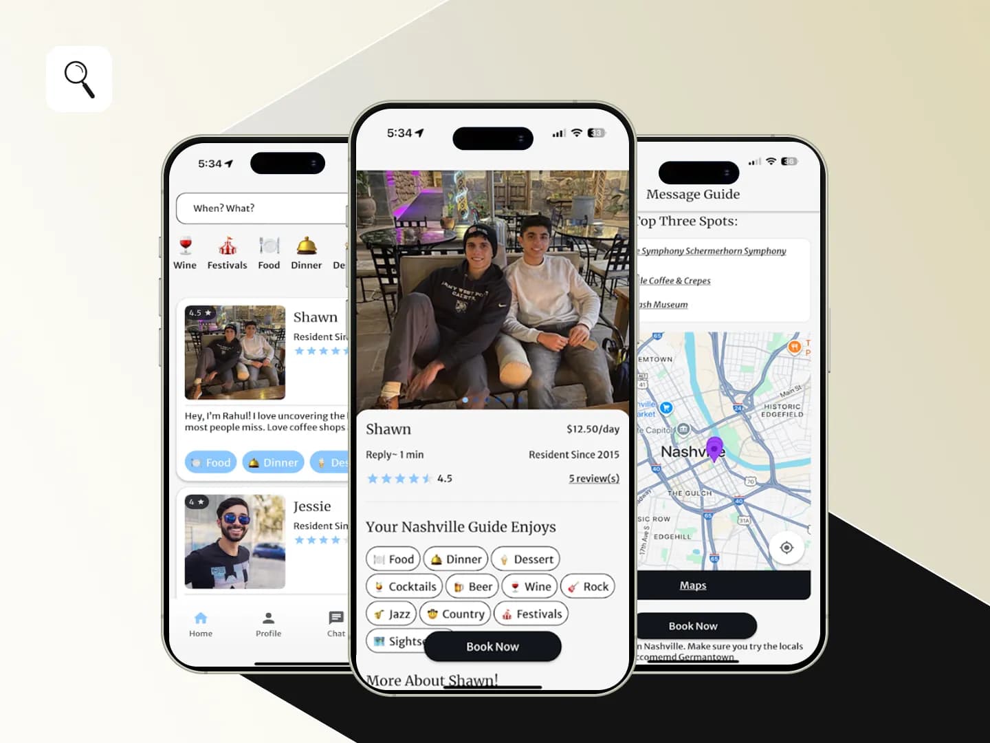
LoScoop
LoScoop connects travelers with real locals in Nashville for one-on-one chats. Get personalized tips on food, bars, events, hidden gems, and more straight from people who actually live there. Whether you’re looking for secret streets, live music spots, or the best brunch, LoScoop helps you discover Nashville like a local.
Have a similar idea? Let's build it together.
From concept to launch, we turn your vision into a world-class product.